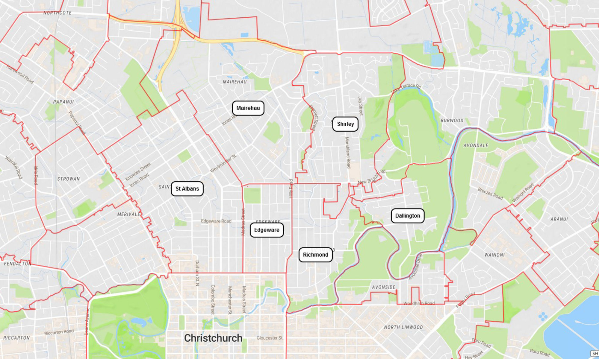
Susannah Buxton (née Shirley) was married to John Buxton (1806–1886). On her deathbed in 1868, she asked her son, Joseph Shirley Buxton (1833–1898), to gift land to the Methodists to build a church. Her wish was carried out and the Shirley Methodist Church was named after her. The suburb eventually became known as Shirley after the church.
The suburb spreads across wholly flat land which before the arrival of the first European colonists in the 1850s consisted of streams running into marshland between weathered and grassy sand dunes. Sheep and dairy cattle began to be grazed on the land within a few years of the colonists’ arrival, the area being part of the Sandhills station. Land began to be bought by families of small farmers from 1863 onwards, and during the rest of the 19th century the future suburb was a district of market gardens, dairy farms and small grazing farms divided by hedgerows. A farmhouse and stables could be found along the roads every few hundred metres. As more and more land was drained it was often highly productive. One large estate was established by the very wealthy Rhodes family who chose not to live on the land but instead resided in a very large mansion in Merivale. Their estate in the district was run by managers and overseers. The district’s settlers were mostly English and Scottish, but some Irish families also settled, as well as – in the 1870s – a significant group of Poles from eastern Germany. A small village of shops and one or two churches had begun to grow up by that time along what would later become known as Shirley Road.
https://en.wikipedia.org/wiki/Shirley,_New_Zealand
Named after Susannah Buxton, née Shirley, (1806?-1867).
Mrs Buxton was the wife of John Buxton (1805?-1887), a saddler, and mother of Joseph Shirley Buxton (1833-1898), a gentleman of Merivale.
Her son owned a large area of land on the corner of Quinn’s Road and St Albans Road. On her deathbed, Mrs Buxton asked her son to gift this land to the Methodists to build a church. Her wish was carried out. The church was to have been named the Brighton Methodist Chapel but in The Press in 1868 it is referred to as the “Wesleyan Church at Shirley”. The first church service was held on 27 December 1868.
Shirley School is first mentioned in the Star in 1870.
https://christchurchcitylibraries.com/Heritage/PlaceNames/ChristchurchPlaceNames-N-Z.pdf, Pg 70
Emmetts Block
Named after Arthur William Emmett (d. 1948).
An area of approximately 130 acres bounded by Hills Road, Briggs Road, Quinns Road and Shirley Road. Emmett was a dairy farmer whose herd of cows on his 100 acre farm supplied milk to Shirley, Richmond, St Albans and Fendalton.
A major state housing project in 1951 when the land was subdivided to provide sites for 518 houses.
https://christchurchcitylibraries.com/Heritage/PlaceNames/LostChristchurch.pdf, Pg 79